Liwa: The Green Ridge on the Edge of the Empty Quarter
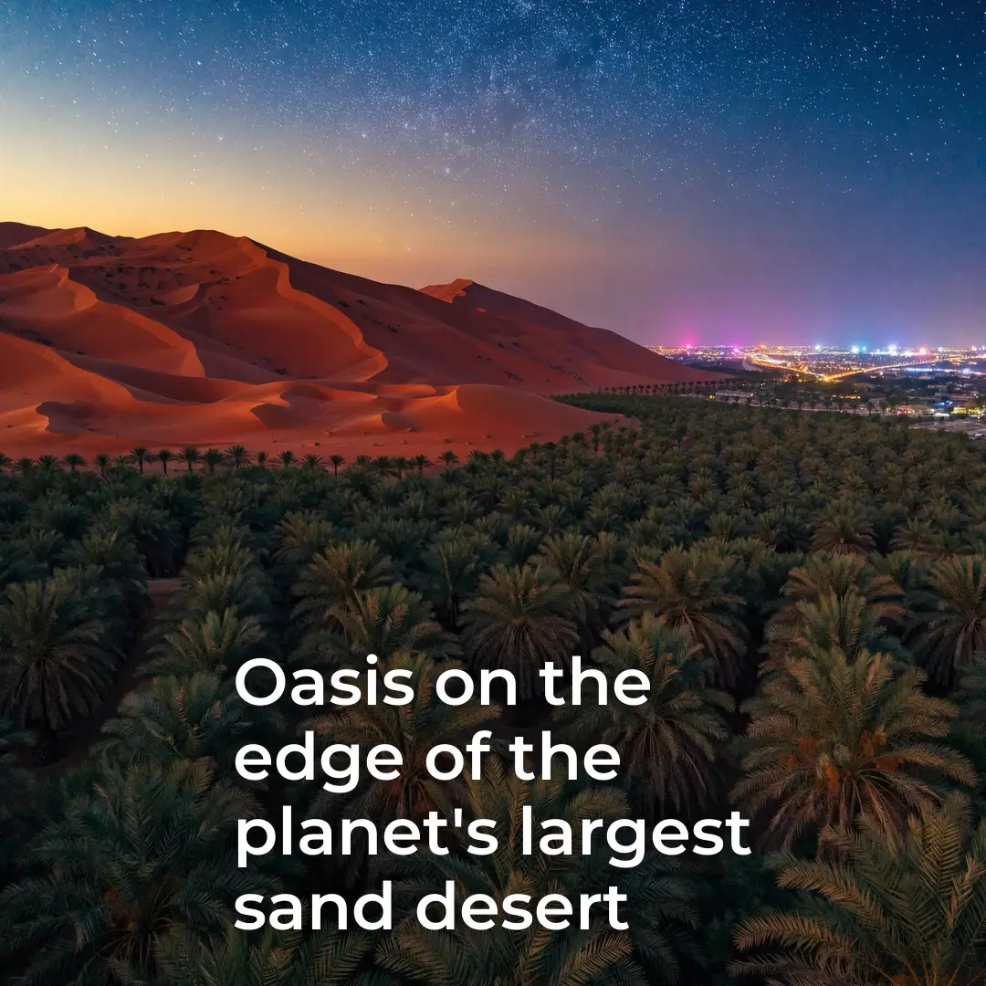
Most maps mark it as a single word. On the ground, Liwa is roughly fifty villages strung along a crescent nearly a hundred kilometers long, pressed right up against the northern edge of the Rub al Khali, the largest unbroken sand desert on Earth. On one side, red dunes running to the horizon. On the other, a line of green that has held its ground for centuries without a river, a lake, or a single visible source of water nearby.
The line held because of what sat beneath it, not around it. Liwa’s water was never surface water. It came from underground reserves that the villages tapped through wells and channels, a resource invisible from above and easy to miss on any map that only shows dunes. That hidden layer is the actual explanation for why a fixed band of settlements could survive for generations at the doorstep of the harshest desert on the continent, while the sand around it stayed exactly as empty as it looks.
The other explanation is the date palm, and it is worth separating from the postcard version of the story. The fruit now shows up in gift boxes and hotel welcome trays, dressed as a delicacy. For the communities that built Liwa, the palm was never a treat. It was the full infrastructure of daily life, assembled from a single plant with nothing left over. The dates were the staple food, calorie-dense enough to carry people through months where little else grew. The pits were roasted and ground into a substitute for coffee when real coffee beans were scarce or expensive to bring in. The bark and dried fronds went straight into the fire as fuel. The leaves were split, woven, and turned into the roofs and walls of houses, into baskets for carrying and storing goods, and into boats light enough to move across water and sand tracks alike. One tree, five separate jobs, none of them optional.
That is the part that tends to get lost when the palm is treated as scenery. A tree that can single-handedly supply food, fuel, shelter material, and transport is not decorative. It is closer to a piece of infrastructure that happens to grow rather than get built, and Liwa’s fifty villages arranged their entire pattern of settlement around keeping enough of them alive.
The geography explains why this particular spot became a foothold rather than another stretch of dunes. Liwa sits at the point where the Rub al Khali’s sand sea meets terrain that allows groundwater to sit close enough to the surface to be reached. That single hydrological detail, repeated across a band a hundred kilometers long, is what let a continuous string of villages take root exactly where the empty quarter of the peninsula begins. Move the underground water table a little deeper, and the crescent of villages likely never forms at all.
There is a pattern worth sitting with rather than resolving into a lesson: the emptiest desert on the planet has a habitable edge, and that edge held not because anyone fought the desert into submission, but because water sat where sand suggested it shouldn’t, and one tree turned that fact into a way of life. The dunes are still there today, unchanged in shape and color. So is the line of green in front of them.
FAQ
Where exactly is Liwa, and how large is it?
Liwa is a crescent-shaped string of roughly fifty villages stretching close to a hundred kilometers, positioned directly on the northern edge of the Rub al Khali (Empty Quarter), the largest continuous sand desert in the world.
Why didn’t the desert simply absorb the oasis over time?
Liwa’s greenery is sustained by underground water reserves rather than any visible river or lake. That subsurface water, not the surface conditions, is what allowed vegetation to persist despite the surrounding dunes.
Was the date palm just a food source in Liwa’s history?
No. Historically the palm supplied far more than fruit: dates for food, ground date pits as a coffee substitute, bark and fronds for fuel, and woven leaves for house construction, baskets, and boats. It functioned as a complete self-sufficiency system built from one plant.
Why did villages form specifically along this crescent and not elsewhere in the desert?
The crescent follows the geographic line where the Rub al Khali’s sand meets terrain that lets groundwater sit close enough to the surface to be reliably reached, making that stretch habitable in a way the surrounding dune sea is not.
Is Liwa still relevant today, or is this purely historical?
The underlying facts, the underground water reserves and the string of villages built around them, still define the landscape. The practical role of the date palm as full-scale infrastructure has faded with modern supply chains, but the geography and settlement pattern it produced remain visible on the ground.
How does groundwater in a desert environment like this actually get replenished?
It typically comes from ancient aquifers and slow infiltration built up over long periods, rather than current rainfall alone, which is part of why such reserves can support settlement in a region that receives very little precipitation.